
Cartographie tpg, Geneva
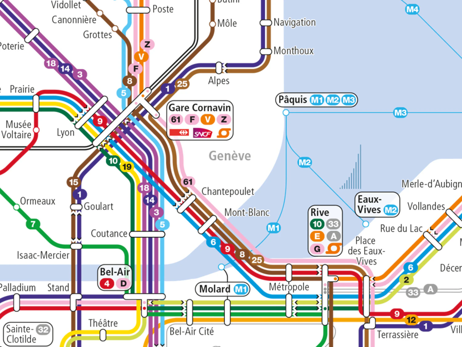
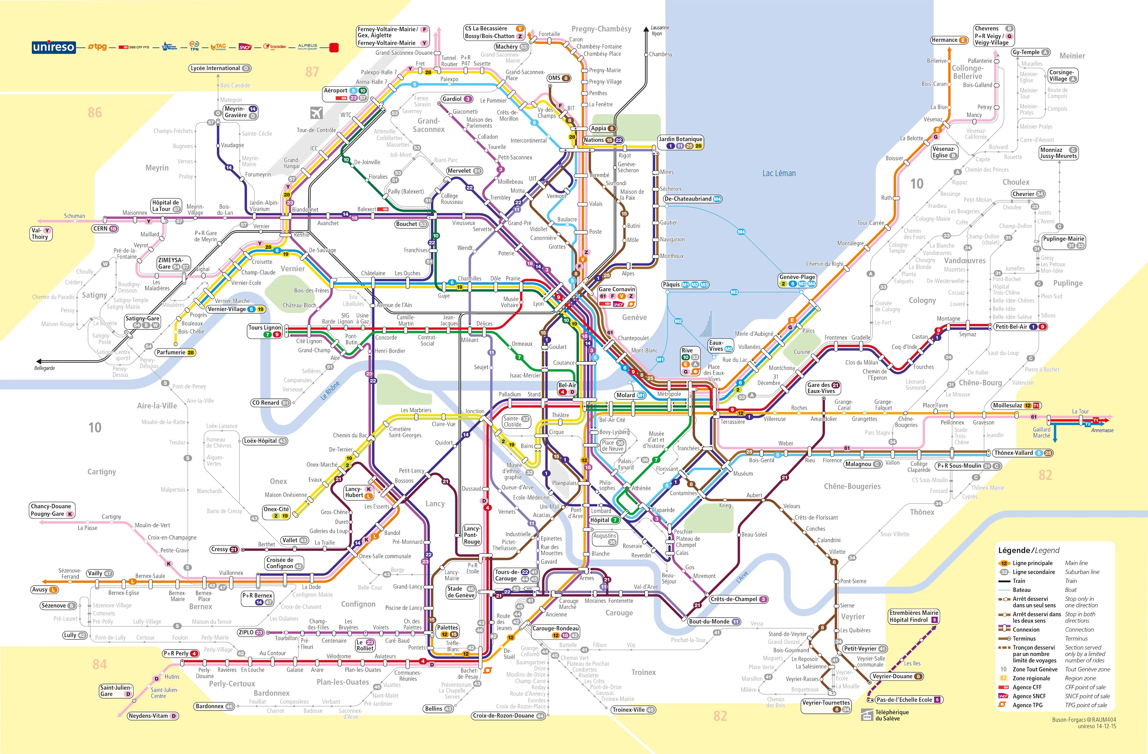
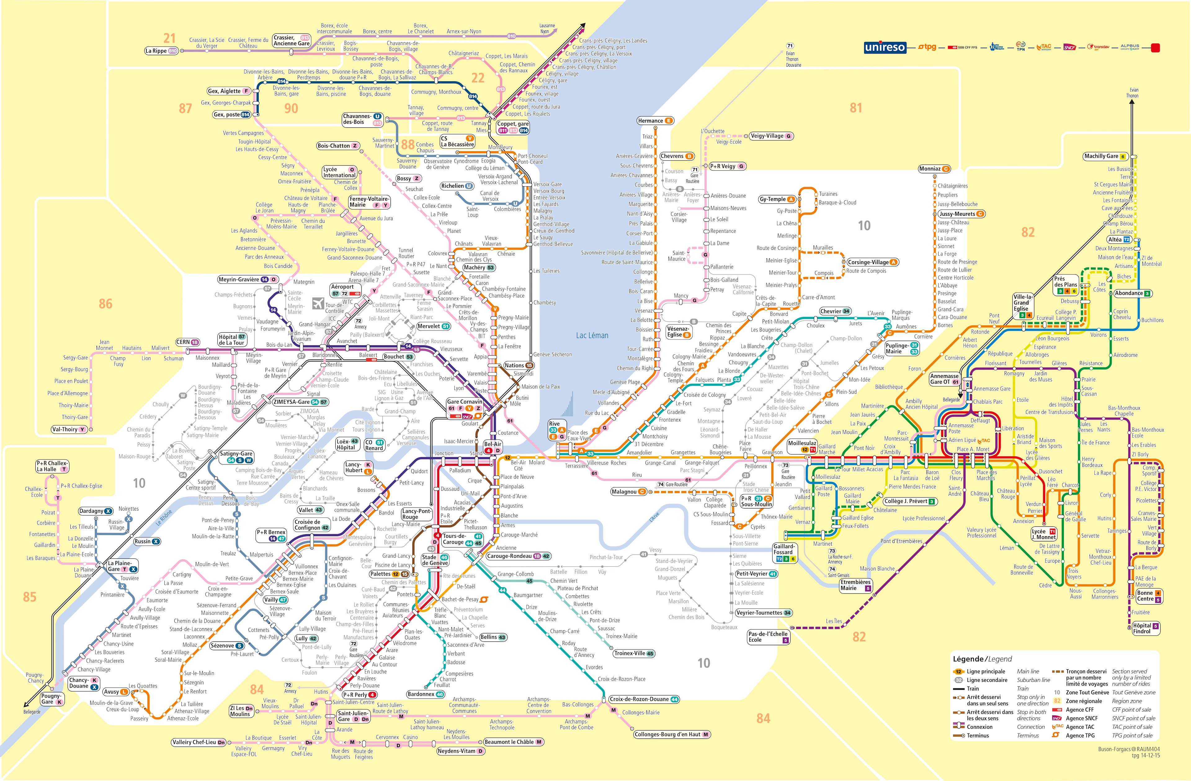
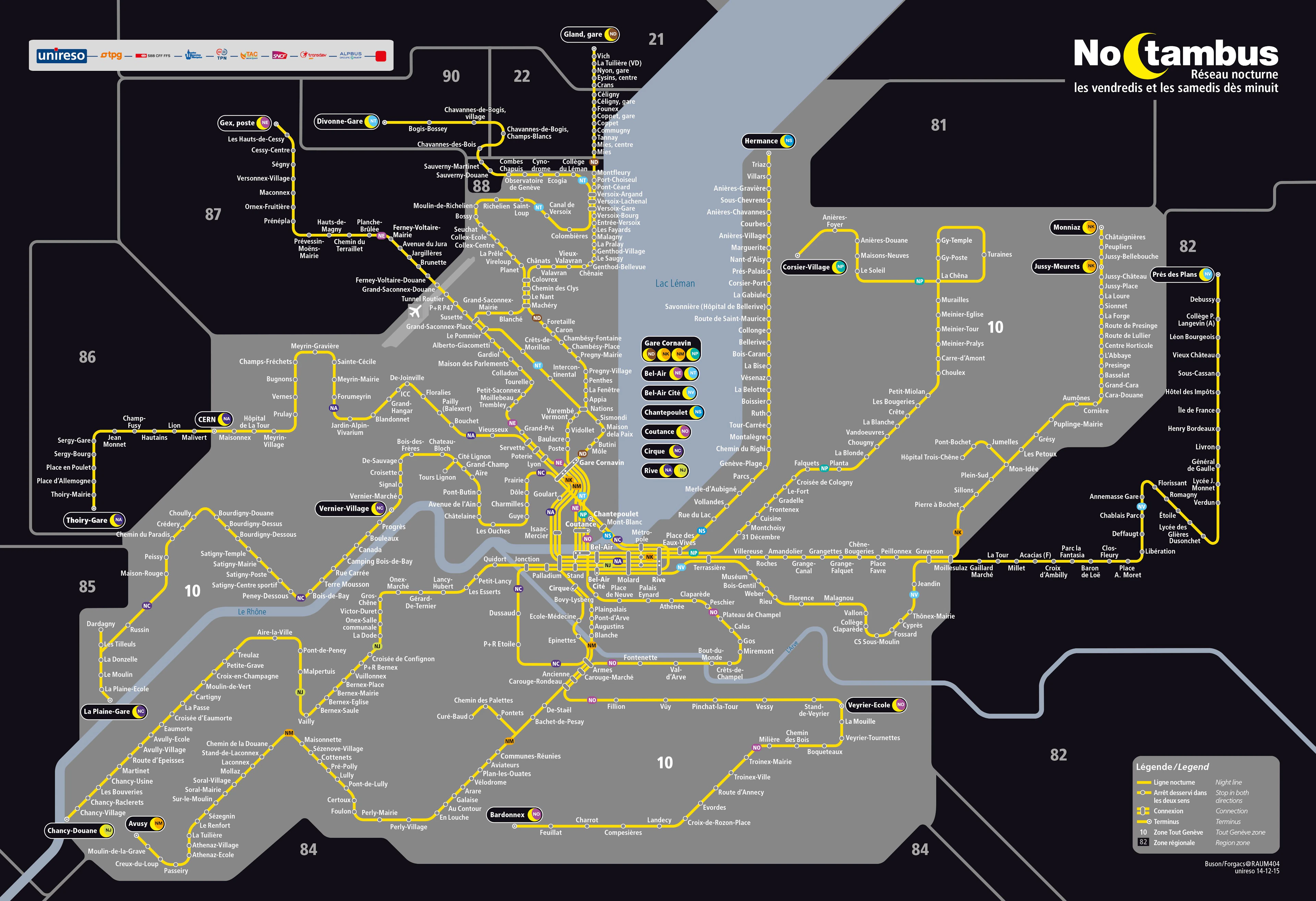
The complexity of the TPG’s maps lies in the multitude of maps that are both geographic and schematic. The urban, suburban, and downtown maps were organized on a purely geographic basis. The downtown area, notably including the Cornavin, Bel-Air, and Rive stops, featured a high density of lines that overlapped graphically, making the maps difficult to read.
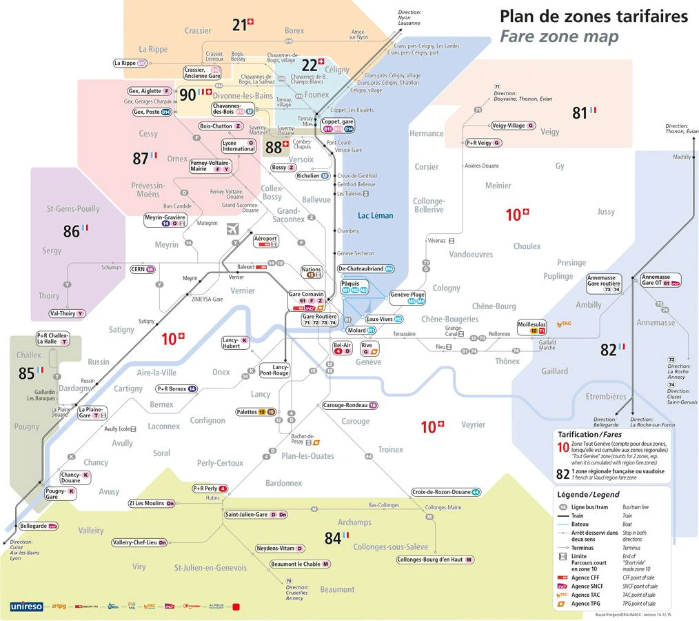
This project was born out of a “rant.” Unable to navigate the complexity of Geneva’s public transit maps, which were in use until 2014, Oscar Buson contacted the Geneva public transit authority. Following several exchanges and a spontaneous proposal, the Buson-Forgacs duo was awarded the contract for the graphic design of the public transit network for Geneva, Annemasse, and Coppet. This was followed by the Zone Maps for fare selection, the Night Map, and the Evening Map.
mandate type : direct mandate
client : Transports Publics Genevois
period : 2014
services provided : Strategic design of visual cartographic communication; standardization of the graphic style using a semi-geographic schematic language for existing maps of: the urban and suburban transit networks, the Noctambus service, and the fare system
project lead : Oscar Buson
urbanism : Raum404
graphic design : Andrea Forgacs
site area : Canton of Geneva and Neighboring France